Consultancy service for preparation and submission of detailed project report based on the preliminary survey, investigation, detailed designs, drawings, estimates, including DTP for taking up the work on lump-sum Turn-key basis for filling of Sulla, Umachgi, Manakavada, Shirguppi, Nalavadi, Mantur, Bhandivada, Ingalahalli, Bhadrapura, Majjigudda, Kolivad, Malligvad (11 No. of tanks) in Hubballi and Annigeri taluk in Dharwad District by lifting water from Malaprabha Right Bank Canal
Client:
M/s Karnataka Neeravari Nigam Limited
Project Description:
The Krishna River is the fourth-largest river in terms of water inflows and river basin area in India, after the Ganges, Godavari, and Brahmaputra. The river, also called Krishnaveni, is almost 1,288 kilometres (800 mi) long. It is a major source of irrigation in the Indian states of Maharashtra, Karnataka, Telangana, and Andhra Pradesh.
Krishna Basin extends over an area of 258,948 km2 (99,980 sq mi) which is nearly 8% of the total geographical area of the country. This large basin lies in the states of Karnataka (113,271 km2), Telangana, Andhra Pradesh (76,252 km2) and Maharashtra (69,425 km2).
The Krishna River rises in the Western Ghats, at an elevation of about 1,337 m (4,386 ft) just north of Mahabaleshwar, about 64 km (40 mi) from the Arabian Sea. It flows for about 1,400 km (870 mi) and outfalls into the Bay of Bengal. The principal tributaries joining Krishna are the Ghataprabha River, Malaprabha River, Bhima River, Tungabhadra River, and Musi River.
Malaprabha River is an important river for the state of Karnataka, India, and is one of the major tributaries to River Krishna. It rises in the Western Ghats at an altitude of 792.4 m in the Belgaum district.
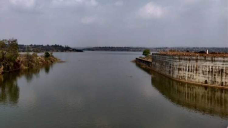
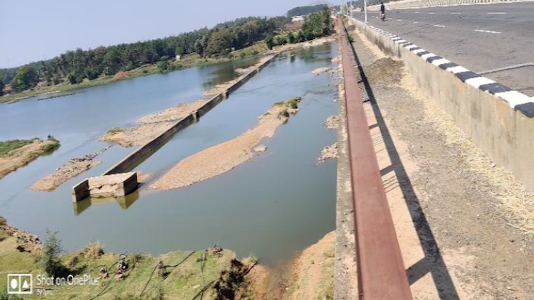
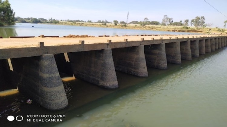
Bennihalla is one of tributary of Malaprabha River which itself is a main tributary of Krishna River. The area lies between north latitudes 15°04´27” and 15°50´23” and east longitudes between 74°58´43” to 75°38´44”. Bennihalla originates in Dhundsi village in Shiggaon Taluka of Haveri District and traverses through Kundgol, Hubli & Navalgund Taluka of Dahrwad District before merging with Malaprabha River at Menasagi Village of Ron Taluka in Gadag District. Total length of Bennihalla is 140 Kms. Out of this, 78 Kms lies in Dharwad District covering 138 villages. It has a catchment of 4419 Sq.Kms. The R.L. (Reduced Level) at origin is 660 M and at confluence is 533 M.
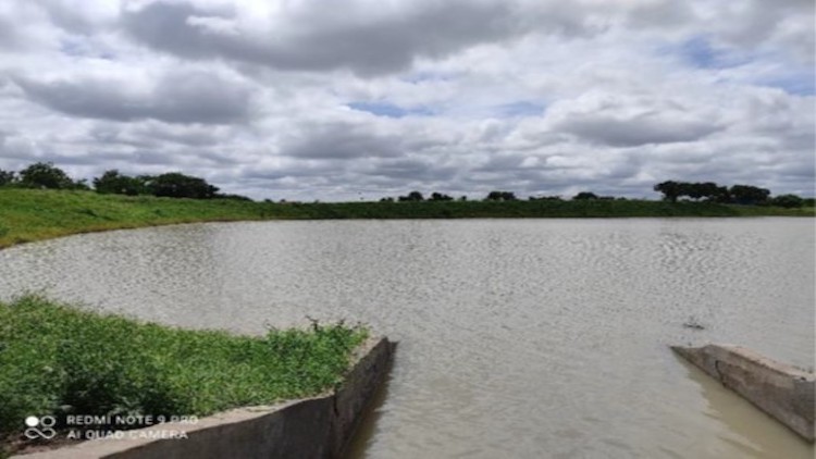
Hubballi, Navalgund and Kundagol Talukas are coming under the Dharwad District premises. The total population of these Taluks 5.00 Lakh. The average annual rainfall in these Taluks is 527mm. These Taluks faces acute shortage of drinking water as the drought looms large every year. The dependability of water for drinking, forming, and other uses in this area is depending on rains, and small storage MI/ZP tanks.
The average annual rain fall is less than 606 mm and unevenly spread in the rainy year. The water retaining structures in the district (MI/ZP Tanks) are not filling in since from 10-12 rainy years due to scanty and uneven rainfall. The Minor Irrigation and Zilla Panchayat tanks are built to serve the need of drinking water requirement of the rural population and domestic animals and as percolation tanks. This is leading to scarcity of drinking water in summer. The ground water is also dwindling during this period. The rural population and the animal population are starving due to scarcity of water. An alternative solution is required to be evolved to fulfil drinking water requirement of this area through filling of MI/ZP tanks.
The Preliminary investigations carried to initiate Filling of Tanks under Hubballi, Navalgund and Kundagol Talukas to fulfil the scarcity of water, it is proposed to consider Bennihalla and its Tributary Nalas as source of water for filling of existing tanks under Hubbali, Navalgund and Kundagol Talukas.