Chitradurga Branch Canal PKG2 (Command Area Survey)
HomePortfolioChitradurga Branch Canal PKG2 (Command Area Survey)
Chitradurga Branch Canal PKG2 (Command Area Survey)
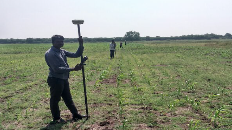
Consultancy Services for Establishment of Control Points Detailed Topographical Survey, Collection of All Revenue Survey Maps and Preparation of Command Area Maps for Implementation of Micro Irrigation Under CBC Package-2
Client:
M/S.Megha Engineerin & Infrastructures Ltd
Project Description:
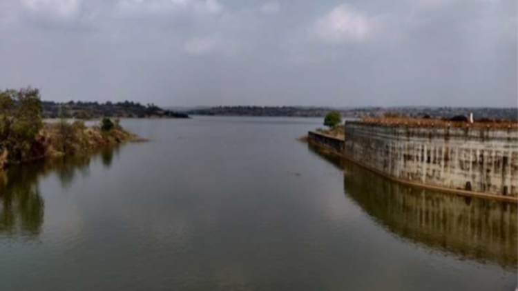
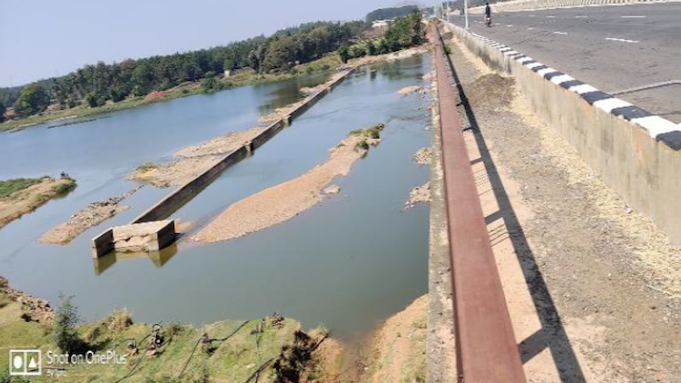
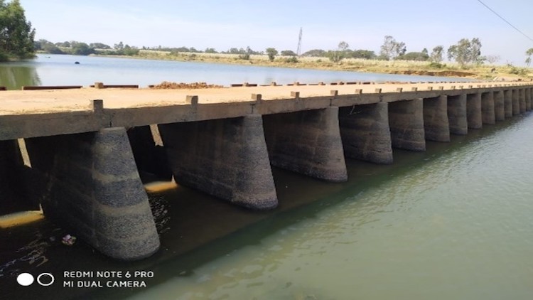
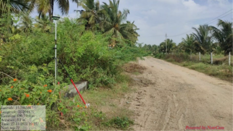
Conducting contour survey of proposed project area for detailed survey and taking contour levels at 0.50mtr intervals including collecting village maps by marking clear details of Roads, Existing water tanks/Earthen tanks, Canals, Railways, if any upcoming Canals /Works etc and any other permanent structures and superimposing the same on the contour maps with land survey no’s ,boundary lines wrt Block wise and Project boundary wise, including submission of Google earth KMZ files as per the project requirement, and establishing TBM’s over culverts, temples, over headlines, Km- stones and any other permanent structures (Min 20 TBM points / 1000 Ha as per the availability of the permanent structures )and need to submit the TBM details in separate Auto cad file with Excel copy ,Rates are inclusive of transportation, labour, hire charges of machinery and survey equipment’s etc., Submitting two set of digital soft copy drawings prepared in AutoCAD -2010 in CD’s – CBC Package -2.