Consultancy service for preparation and Submission In 5 Copies of Detailed Project Report based on the preliminary survey, investigation, drawings, designs including hydrology, estimate including DTP for filling up tanks in Shikaripura Taluk of Shivamogga district under Harogoppa LIS
Client:
M/s Karnataka Neeravari Nigam Ltd
Project Description:
Shivamogga district is a part of the Malnad region of Karnataka and is also known as the “Gateway to Malnad” or “Malae naada Hebbagilu”. The district is landlocked and bounded by districts of Haveri, Davangere, Chikkamagaluru, Udupi and Uttara Kannada. The district lies between 13°55’20” North latitude and 75°34’14.73″ East longitude in south Karnataka at a mean altitude of 640 mtrs above sea level.
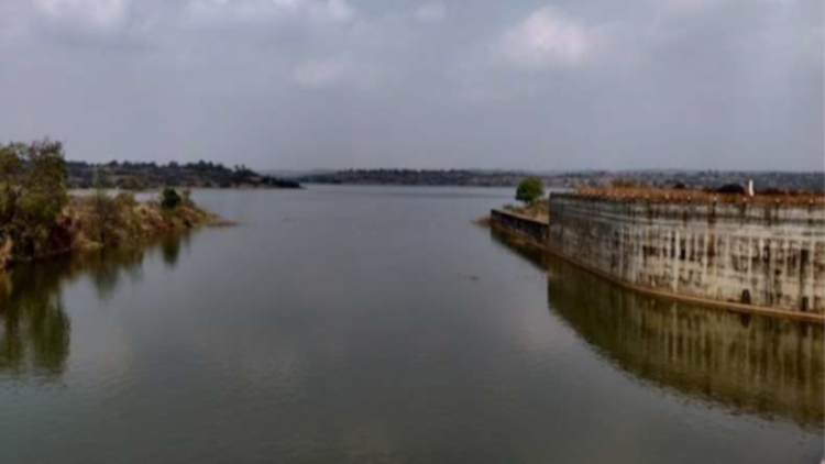
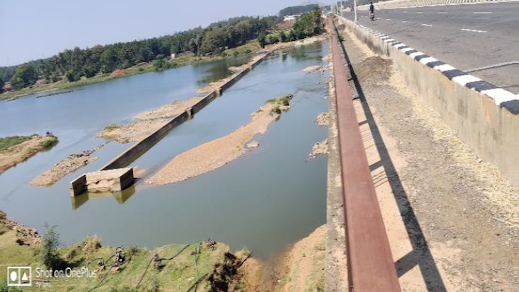
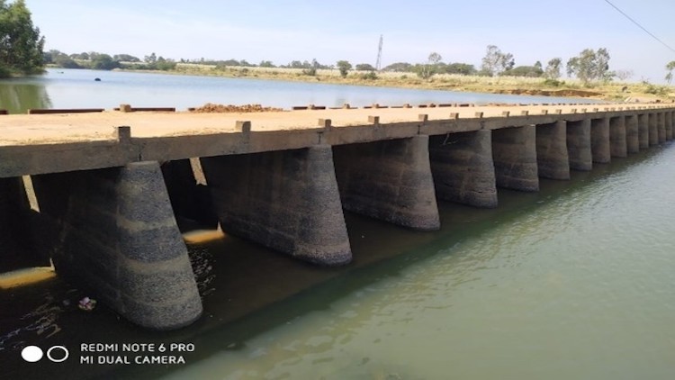
The Kumudvati river falls under the Tungabhadra sub basin of Krishna Basin which covers a major portion of drainage basin of the state. The total drainage area of Tungabhadra sub-basin is 39,106 sq.km which accounts for 38 watersheds which is 16% of the total watersheds in the state. A preliminary study is undertaken by KNNL for addressing the same and found that Kumudvati River near Anjanapura reservoir in Shikaripura Taluka of Shivamogga District is the nearest sustainable surface source of water for filling these tanks.
The present proposal envisages to utilise the flow in the Kumudvati river to fill up 12 numbers of tanks in Shikaripura Taluk under Harogoppa LIS scheme. The proposed lifting point is from Kumudvati River on Right bank and on D/S of Anjanapura Reservoir, near Harogoppa village of Shikaripura Taluk of Shivamogga District. The topo sheet reference no is 48 N 08(D43J8) published by Survey of India. The Geographical location of the lifting point is 14°9’35.24″N Latitude and 75°23’33″E Longitude.