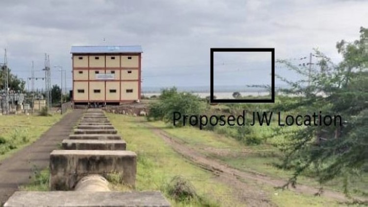
Consultancy services for Detailed Survey, Investigation, Preparation of Designs, Drawings, Detailed Engineering, Reports and BOQ for Civil works for Horti - Revanasiddeshwara Lift Irrigation Scheme for Phase-1 Lift headworks and initial length of rising main by lifting water from foreshore of Almatti reservoir on upstream of Korthi-Kolhar Barrage near Kolhar village in Vijayapura taluk, Vijayapura District
Client:
M/S. Brundavana Constructions Pvt. Ltd.
Project Description:
Krishna River takes its birth in Mahadev Range of Western Ghats at EL 1338 m above MSL in Maharashtra. It enters Karnataka at 304th Km of its course and passes through the state for a length of 480 Km and finally joins the Bay of Bengal near Bapatla in Andhra Pradesh. The basin area is 2.57 lakhs Sq.km and that in Karnataka is 1.13 lakhs Sq.km.
There is about 49,410.00 Ha of gross command area is left out in Indi taluka beyond Tidagundi branch canal and of Mulwad LIS and Indi branch canal. Further, there is a patch of command area is left out in Vijayapura taluka after crossing Doni river which is not covered under mulwad LIS & Tubachi babaleshwara LIS the gross command area same is 15,000 Ha.Totally about 64,400 Ha GCA (ICA – 49,730 Ha) of land is deprived of Irrigation facilities.
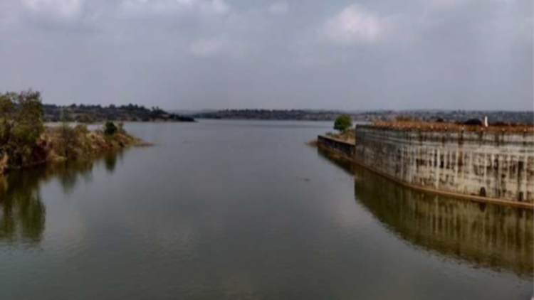
The area receives scanty rainfall and drought affected does not receive water from any of the schemes planned under Upper Krishna Project. In view of this, there is a representation from the local Farmers and MLAs of the area to plan a separate scheme to cover this area by proposing a project to lift water from Almatti Reservoir.
During the Budget speech 2019-20 it has been announced, to take up the providing irrigation facility left out area of Vijayapura and Indi talukas of Vijayapura district under Horti-Revana Siddeshwara Lift Irrigation Scheme.
Accordingly, the DPR for provide Krishna River takes its birth in Mahadev Range of Western Ghats at EL 1338 m above MSL in Maharashtra. It enters Karnataka at 304th Km of its course and passes through the state for a length of 480 Km and finally joins the Bay of Bengal near Bapatla in Andhra Pradesh. The basin area is 2.57 lakhs Sq.km and that in Karnataka is 1.13 lakhs Sq.km.